Geography Grade 12 Term 3 September Past Papers and Memos
2019 to 202619 papers10 study files73 PDFsEnglish / Afrikaans
Advertisement
This page has every Geography Grade 12 Term 3 paper we have, from 2019 to 2026: 19 question papers and 18 memos in 73 PDFs. The papers were set by Eastern Cape, Gauteng, KwaZulu-Natal and Western Cape. Files are in English and Afrikaans. The newest year is first. Each paper shows the first page of questions, its marks and time, and what the questions cover. Below the papers there are 10 files of Term 3 study material.
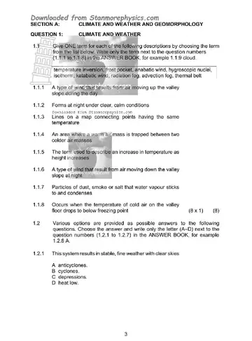
Q11.1 Refer to FIGURE 1.1 showing winds associated with valley climates. Match the75 marks
Q22.1 Choose a term in COLUMN B that matches the climatological description in75 marks
Q33.1 Choose the correct word(s) from those given in brackets. Write only the word(s)75 marks
Q44.1 Various options are provided as possible answers to the following questions.75 marks
Instructions to candidates
This question paper consists of four questions.
Answer any THREE questions of 75 marks each.
All diagrams are included in the ANNEXURE.
Number the questions correctly according to the numbering system used in this question paper.
Leave a line between subsections of questions answered.
Start EACH question on a NEW page.
Do NOT write in the margins of the ANSWER BOOK.
Illustrate your answers with labelled diagrams, where possible.
The mark allocation is as follows: (2 x 1) (2) means that TWO facts are required for ONE mark each. (2 x 2) (4) means that TWO facts are required for TWO marks each.
If words/action verbs like name, identify, provide, classify, are used in a question, ONE word answers are acceptable. If words/action verbs like discuss, define, explain, comment, evaluate, justify, suggest and substantiate are used in a question, FULL senten
Write neatly and legibly.
September Trial 2020 Paper 2
Geography Grade 12 September Trial 2020 Paper 2 question paper
Q1Multiple-Choice QuestionsThe questions below are based on the 1 : 50 000 topographical map (3319 CB15 marks
Q2Mapwork Calculations and Techniques2.1 The magnetic declination in 2020 for the topographical map is 23°58' W of TN.20 marks
Q3Application and Interpretation3.1 Refer to the area in blocks A6 to B8 on the topographical map.25 marks
Q4Geographical Information Systems (Gis)4.1 During a major flooding disaster, accessibility to the Brandvlei Dam in blocks15 marks
Instructions to candidates
Write your NAME in the space provided on the cover page.
Answer ALL the questions in the spaces provided in this question paper.
You are provided with a 1 : 50 000 topographical map (3319CB WORCESTER) and an orthophoto map (3319 CB 15 WORCESTER) of a part of the mapped area.
You must hand the topographical map and the orthophoto map to the invigilator at the end of this examination session.
You may use the blank page at the end of this question paper for all rough work and calculations. Do NOT detach this page from the question paper.
Show ALL calculations and formulae, where applicable. Marks will be allocated for these.
Indicate the unit of measurement in the final answer of calculations, e.g. 10 km; 2,1 cm.
You may use a non-programmable calculator and a magnifying glass.
The area demarcated in BLACK AND RED on the topographical map represents the area covered by the orthophoto map.
The following English terms and their Afrikaans translations are shown on the topographical map: ENGLISH AFRIKAANS Aerodrome Vliegveld Golf course Gholfbaan Model aircraft club Modelvlietuigklub Hospital Hospitaal Sewerage works Rioolwerke Race track Renbaan C
Geography Grade 12 Term 3 2019 question papers and memos
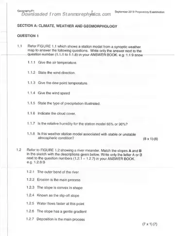
September Trial 2019 Paper 1
Geography Grade 12 September Trial 2019 Paper 1 question paper